Summer Hikes Off the Mt. Baker Highway
The highway that carries skiers in winter carries hikers in summer. Seven walks from a paved lakeside loop to a full day above the treeline, with the passes and the road closures you need to know about.
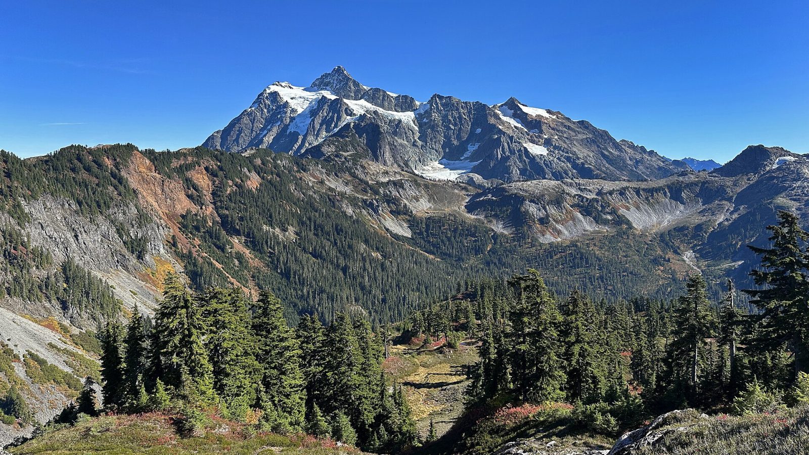
When the snow clears, the top of the Mt. Baker Highway opens to Artist Point and the trails around Heather Meadows. The road usually reopens in mid-to-late June (10 June in 2026, 27 June in 2025) and closes again with the first big snow in October. The high meadows are often snow-free only from late July into early October, with peak wildflowers in late July and August and huckleberries ripening at the same time. Nearly every Forest Service trailhead needs a Northwest Forest Pass ($5 a day or $30 a year, sold at the Glacier Public Service Center); Nooksack Falls and Welcome Pass are the exceptions.
Picture Lake and Bagley Lakes
Picture Lake, below the ski area, has a short paved loop and the famous reflection shot; the mountain in the water is Mt. Shuksan, not Mt. Baker. It takes fifteen minutes and is best at dawn. Bagley Lakes, from the Heather Meadows upper lot, is a two-mile loop with 150 feet of gain, a year-round snowfield and far fewer people than Artist Point.
Chain Lakes Loop and Table Mountain
From Artist Point, the Chain Lakes Loop is the corridor's classic: 6.5 miles and about 1,800 feet of gain past Iceberg, Hayes, Arbuthnot and Mazama lakes, with blueberries in late summer. It can also be started lower, from Austin Pass or Bagley Lakes. Table Mountain, from the same lot, is only 2.6 miles round trip but climbs loose scree to an exposed top: short, not casual.
Horseshoe Bend and Nooksack Falls
Two low-elevation stops close to Glacier. Horseshoe Bend, 1.8 miles past town, is a gentle 2.4-mile riverside walk that is open year-round and good with children. Nooksack Falls, 7.4 miles past Glacier and a short way up Wells Creek Road, is a fenced viewing platform above the falls, no pass required. Stay behind the fence; the rocks are wet in every season, and the North Fork Nooksack itself, glacier-fed and full of logjams, is not a river to swim or float.
Welcome Pass and Yellow Aster Butte
For a harder day, Welcome Pass climbs 2,800 feet in 2.3 miles through 66 switchbacks from an unsigned turn between mileposts 45 and 46, no pass required. Yellow Aster Butte, 7.5 miles and 2,550 feet from Twin Lakes Road, is the big-meadow, big-view walk of the corridor; go once the avalanche paths are snow-free, and expect a rough access road.
Two famous trails with road problems
Heliotrope Ridge, the walk to the edge of the Coleman Glacier, and Skyline Divide, the long ridge of meadows under Mt. Baker, are both reached by forest roads that were washed out in recent storms. Glacier Creek Road has repairs under way through 2026 and Deadhorse Creek Road has a multi-year closure, so both hikes currently start with extra miles on foot or bike. Call the Glacier Public Service Center at (360) 599-2714 before you drive to either.
Before you go
Weather at 5,000 feet is not the weather in Glacier: carry layers, water and a map that does not need a signal. Trail conditions and gain figures above are from the Washington Trails Association, road status from the Forest Service; both change, so check them the week you hike. Bear-resistant food storage is required across the forest, and the Mount Baker Wilderness, which many of these trails enter, limits groups to twelve.